
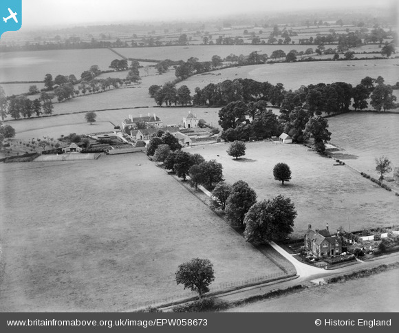
EPW058673 ENGLAND (1938). South Hill Farm and environs, Meysey Hampton, from the south-east, 1938
© Copyright OpenStreetMap contributors and licensed by the OpenStreetMap Foundation. 2026. Cartography is licensed as CC BY-SA.
Nearby Images (7)
EPW058673

EPW058671

EPW058670

EPW058675

EPW058674

EPW058672

EPW058676

Details
| Title | [EPW058673] South Hill Farm and environs, Meysey Hampton, from the south-east, 1938 |
| Reference | EPW058673 |
| Date | 15-August-1938 |
| Link | |
| Place name | MEYSEY HAMPTON |
| Parish | MAISEYHAMPTON |
| District | |
| Country | ENGLAND |
| Easting / Northing | 412469, 198256 |
| Longitude / Latitude | -1.8196258811123, 51.682464911348 |
| National Grid Reference | SU125983 |
Pins
Be the first to add a comment to this image!