
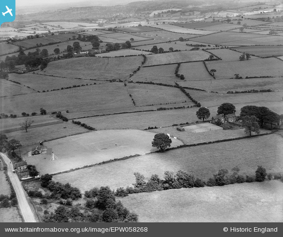
EPW058268 ENGLAND (1938). The village Cricket Ground and the surrounding countryside, Cresswell, 1938
© Copyright OpenStreetMap contributors and licensed by the OpenStreetMap Foundation. 2026. Cartography is licensed as CC BY-SA.
Nearby Images (8)
EPW058268

EAW002100

EPW058266

EPW058261

EAW002102

EAW000909

EPW058265

EPW058263

Details
| Title | [EPW058268] The village Cricket Ground and the surrounding countryside, Cresswell, 1938 |
| Reference | EPW058268 |
| Date | 21-July-1938 |
| Link | |
| Place name | CRESSWELL |
| Parish | DRAYCOTT IN THE MOORS |
| District | |
| Country | ENGLAND |
| Easting / Northing | 397985, 339569 |
| Longitude / Latitude | -2.0299956192665, 52.953180911885 |
| National Grid Reference | SJ980396 |
Pins
Be the first to add a comment to this image!