
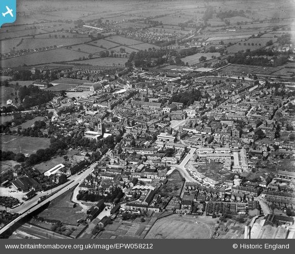
EPW058212 ENGLAND (1938). The town, Melton Mowbray, from the south-east, 1938
© Copyright OpenStreetMap contributors and licensed by the OpenStreetMap Foundation. 2026. Cartography is licensed as CC BY-SA.
Nearby Images (12)
EPW058212

EPW014944

EPW014941

EPW014943

EPW014945

EPW058211

EAW049203

EAW049204

EAW042527

EPW058214

EPW058210

EAW042526

Details
| Title | [EPW058212] The town, Melton Mowbray, from the south-east, 1938 |
| Reference | EPW058212 |
| Date | 20-July-1938 |
| Link | |
| Place name | MELTON MOWBRAY |
| Parish | |
| District | |
| Country | ENGLAND |
| Easting / Northing | 475406, 318979 |
| Longitude / Latitude | -0.8823763453664, 52.762807374287 |
| National Grid Reference | SK754190 |


