
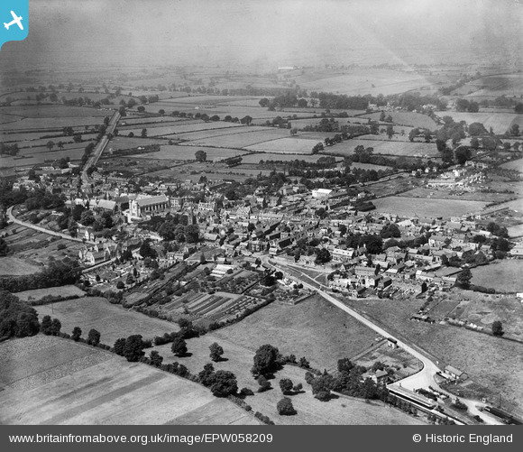
EPW058209 ENGLAND (1938). The town, Uppingham, from the south-east, 1938
© Copyright OpenStreetMap contributors and licensed by the OpenStreetMap Foundation. 2026. Cartography is licensed as CC BY-SA.
Nearby Images (4)
EPW058209

EPW031857

EPW031888

EPW047300

Details
| Title | [EPW058209] The town, Uppingham, from the south-east, 1938 |
| Reference | EPW058209 |
| Date | 20-July-1938 |
| Link | |
| Place name | UPPINGHAM |
| Parish | UPPINGHAM |
| District | |
| Country | ENGLAND |
| Easting / Northing | 486886, 299465 |
| Longitude / Latitude | -0.71741789205365, 52.585682090947 |
| National Grid Reference | SP869995 |
Pins
Be the first to add a comment to this image!