
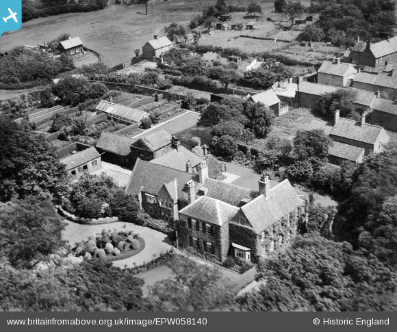
EPW058140 ENGLAND (1938). The Hall and environs, Wellow, 1938
© Copyright OpenStreetMap contributors and licensed by the OpenStreetMap Foundation. 2026. Cartography is licensed as CC BY-SA.
Nearby Images (14)
EPW058140

EPW058142

EPW058145

EPW058144

EPW058141

EPW058143

EPW058136

EPW058133

EPW058137

EPW058138

EPW058139

EPW058135

EPW058132

EPW058134

Details
| Title | [EPW058140] The Hall and environs, Wellow, 1938 |
| Reference | EPW058140 |
| Date | 19-July-1938 |
| Link | |
| Place name | WELLOW |
| Parish | WELLOW |
| District | |
| Country | ENGLAND |
| Easting / Northing | 466949, 366265 |
| Longitude / Latitude | -0.99791340275941, 53.188970566497 |
| National Grid Reference | SK669663 |
Pins
Be the first to add a comment to this image!