
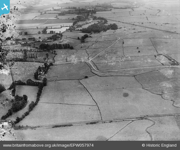
EPW057974 ENGLAND (1938). Fort Road Common, Hallhill Common and environs, West Tilbury, 1938. This image has been produced from a damaged negative.
© Copyright OpenStreetMap contributors and licensed by the OpenStreetMap Foundation. 2026. Cartography is licensed as CC BY-SA.
Nearby Images (2)
EPW057974

EPW057976

Details
| Title | [EPW057974] Fort Road Common, Hallhill Common and environs, West Tilbury, 1938. This image has been produced from a damaged negative. |
| Reference | EPW057974 |
| Date | 17-July-1938 |
| Link | |
| Place name | WEST TILBURY |
| Parish | |
| District | |
| Country | ENGLAND |
| Easting / Northing | 565590, 177473 |
| Longitude / Latitude | 0.38447931576407, 51.471468899784 |
| National Grid Reference | TQ656775 |
Pins

C.Coles |
Tuesday 24th of February 2015 10:54:12 PM | |
|
BigglesH |
Tuesday 15th of October 2013 03:12:01 AM | |
|
BigglesH |
Tuesday 15th of October 2013 03:11:08 AM | |
|
BigglesH |
Tuesday 15th of October 2013 03:09:19 AM | |
|
BigglesH |
Tuesday 15th of October 2013 03:06:00 AM |