
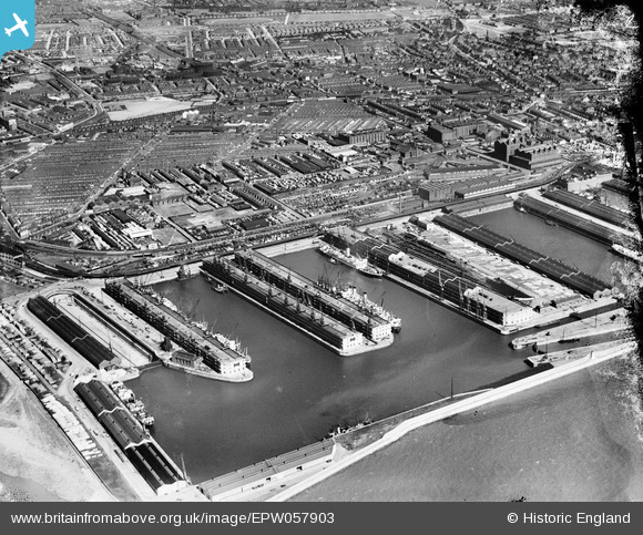
EPW057903 ENGLAND (1938). Gladstone Dock and the city, Bootle, 1938
© Copyright OpenStreetMap contributors and licensed by the OpenStreetMap Foundation. 2026. Cartography is licensed as CC BY-SA.
Nearby Images (4)
EPW057903

EPW057902

EPW053310

EPW050114

Details
| Title | [EPW057903] Gladstone Dock and the city, Bootle, 1938 |
| Reference | EPW057903 |
| Date | July-1938 |
| Link | |
| Place name | BOOTLE |
| Parish | |
| District | |
| Country | ENGLAND |
| Easting / Northing | 332907, 395782 |
| Longitude / Latitude | -3.0104902978081, 53.454261261911 |
| National Grid Reference | SJ329958 |
Pins

alan |
Monday 6th of April 2020 12:31:43 AM | |
|
alan |
Monday 6th of April 2020 12:28:43 AM | |
|
alan |
Monday 6th of April 2020 12:25:40 AM | |
|
flyers |
Monday 2nd of September 2013 08:55:36 PM | |
|
flyers |
Monday 2nd of September 2013 08:54:16 PM | |
|
bootlegirl |
Sunday 4th of August 2013 12:16:08 PM | |
|
bootlegirl |
Sunday 4th of August 2013 12:12:48 PM |