
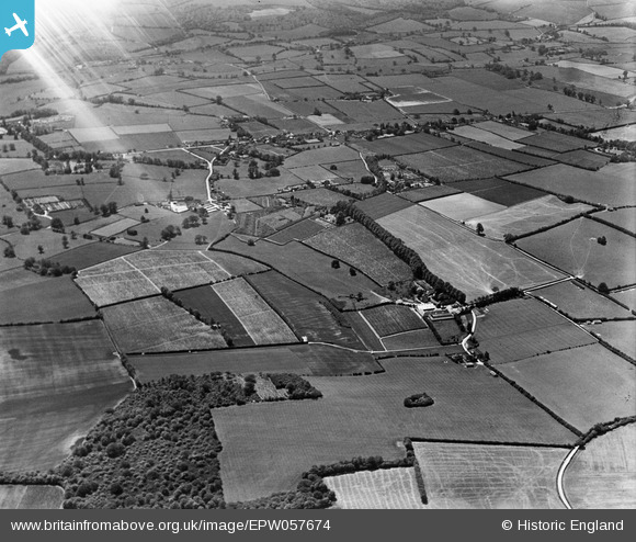
EPW057674 ENGLAND (1938). Bury Court Farm and the surrounding countryside, Bentley, 1938. This image has been affected by flare.
© Copyright OpenStreetMap contributors and licensed by the OpenStreetMap Foundation. 2026. Cartography is licensed as CC BY-SA.
Nearby Images (3)
EPW057674

EPW057672

EPW057673

Details
| Title | [EPW057674] Bury Court Farm and the surrounding countryside, Bentley, 1938. This image has been affected by flare. |
| Reference | EPW057674 |
| Date | 21-June-1938 |
| Link | |
| Place name | BENTLEY |
| Parish | BENTLEY |
| District | |
| Country | ENGLAND |
| Easting / Northing | 478477, 144871 |
| Longitude / Latitude | -0.87672024975139, 51.197142119811 |
| National Grid Reference | SU785449 |
Pins
Be the first to add a comment to this image!