
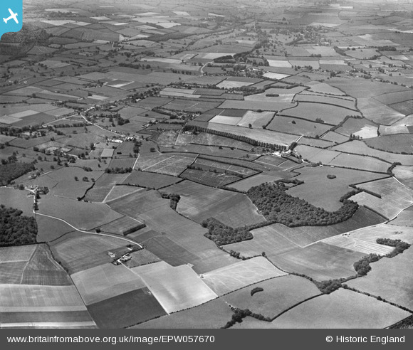
EPW057670 ENGLAND (1938). Bury Court Farm, Locks Grove and the surrounding countryside, Bentley, 1938
© Copyright OpenStreetMap contributors and licensed by the OpenStreetMap Foundation. 2026. Cartography is licensed as CC BY-SA.
Nearby Images (2)
EPW057670

EPW057673

Details
| Title | [EPW057670] Bury Court Farm, Locks Grove and the surrounding countryside, Bentley, 1938 |
| Reference | EPW057670 |
| Date | 21-June-1938 |
| Link | |
| Place name | BENTLEY |
| Parish | BENTLEY |
| District | |
| Country | ENGLAND |
| Easting / Northing | 478708, 145186 |
| Longitude / Latitude | -0.87334542919613, 51.199942574082 |
| National Grid Reference | SU787452 |
Pins
Be the first to add a comment to this image!