
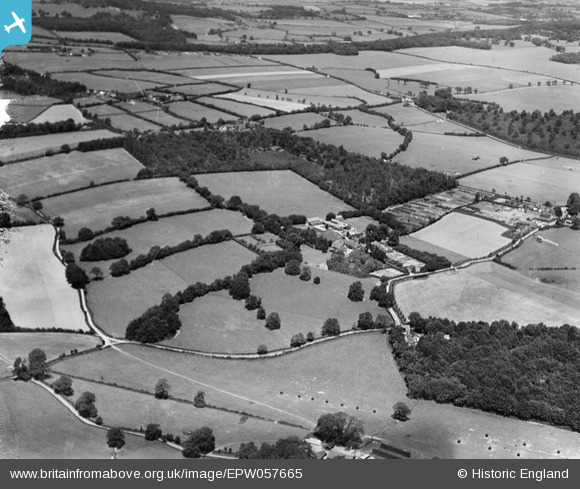
EPW057665 ENGLAND (1938). Chambers Green Farm, Ashfield House and the surrounding countryside, St Leonards, 1938
© Copyright OpenStreetMap contributors and licensed by the OpenStreetMap Foundation. 2026. Cartography is licensed as CC BY-SA.
Nearby Images (4)
EPW057665

EPW057669

EPW057666

EPW057668

Details
| Title | [EPW057665] Chambers Green Farm, Ashfield House and the surrounding countryside, St Leonards, 1938 |
| Reference | EPW057665 |
| Date | 21-June-1938 |
| Link | |
| Place name | ST LEONARDS |
| Parish | CHOLESBURY-CUM-ST. LEONARDS |
| District | |
| Country | ENGLAND |
| Easting / Northing | 490563, 206954 |
| Longitude / Latitude | -0.687853073959, 51.753493358817 |
| National Grid Reference | SP906070 |
Pins
Be the first to add a comment to this image!