
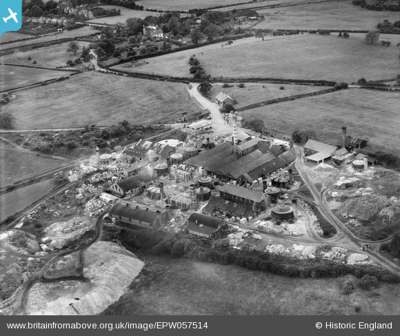
EPW057514 ENGLAND (1938). The John Hall and Co Ltd Amblecote Firebrick Works, Amblecote, 1938
© Copyright OpenStreetMap contributors and licensed by the OpenStreetMap Foundation. 2026. Cartography is licensed as CC BY-SA.
Nearby Images (7)
EPW057514

EPW057511

EPW057512

EPW057513

EPW057517

EPW057515

EPW057516

Details
| Title | [EPW057514] The John Hall and Co Ltd Amblecote Firebrick Works, Amblecote, 1938 |
| Reference | EPW057514 |
| Date | 9-June-1938 |
| Link | |
| Place name | AMBLECOTE |
| Parish | |
| District | |
| Country | ENGLAND |
| Easting / Northing | 390982, 285216 |
| Longitude / Latitude | -2.1327518168806, 52.464440893115 |
| National Grid Reference | SO910852 |
Pins

mike |
Saturday 26th of September 2015 11:39:17 AM | |
|
mike |
Saturday 26th of September 2015 11:36:09 AM | |
|
mike |
Saturday 26th of September 2015 11:31:13 AM | |
|
mike |
Saturday 26th of September 2015 11:29:42 AM | |
|
mike |
Saturday 26th of September 2015 11:27:02 AM | |
|
mike |
Saturday 26th of September 2015 11:23:15 AM | |
|
mike |
Saturday 26th of September 2015 11:21:43 AM | |
|
mike |
Saturday 26th of September 2015 11:19:39 AM |