
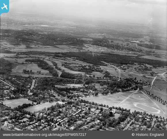
EPW057217 ENGLAND (1938). The Royal Wimbledon Golf Course, Wimbledon Common and environs, Wimbledon, from the south-east, 1938
© Copyright OpenStreetMap contributors and licensed by the OpenStreetMap Foundation. 2026. Cartography is licensed as CC BY-SA.
Nearby Images (2)
EPW057217

EPW054281

Details
| Title | [EPW057217] The Royal Wimbledon Golf Course, Wimbledon Common and environs, Wimbledon, from the south-east, 1938 |
| Reference | EPW057217 |
| Date | 26-May-1938 |
| Link | |
| Place name | WIMBLEDON |
| Parish | |
| District | |
| Country | ENGLAND |
| Easting / Northing | 523220, 170881 |
| Longitude / Latitude | -0.22757222281242, 51.42303539251 |
| National Grid Reference | TQ232709 |
