
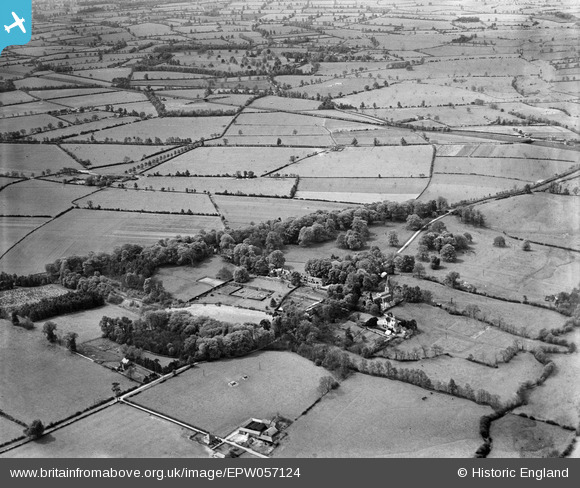
EPW057124 ENGLAND (1938). Misterton Hall and St Leonard's Church, Misterton, from the north-east, 1938
© Copyright OpenStreetMap contributors and licensed by the OpenStreetMap Foundation. 2026. Cartography is licensed as CC BY-SA.
Nearby Images (5)
EPW057124

EPW057122

EPW057125

EPW057126

EPW057123

Details
| Title | [EPW057124] Misterton Hall and St Leonard's Church, Misterton, from the north-east, 1938 |
| Reference | EPW057124 |
| Date | 14-May-1938 |
| Link | |
| Place name | MISTERTON |
| Parish | MISTERTON WITH WALCOTE |
| District | |
| Country | ENGLAND |
| Easting / Northing | 455910, 283965 |
| Longitude / Latitude | -1.1772168748522, 52.450405889905 |
| National Grid Reference | SP559840 |
Pins
Be the first to add a comment to this image!