
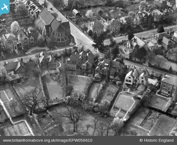
EPW056610 ENGLAND (1938). 2 Crescent Road and environs, Kingston Upon Thames, 1938. This image has been produced from a print.
© Copyright OpenStreetMap contributors and licensed by the OpenStreetMap Foundation. 2026. Cartography is licensed as CC BY-SA.
Nearby Images (2)
EPW056610

EPW056611

Details
| Title | [EPW056610] 2 Crescent Road and environs, Kingston Upon Thames, 1938. This image has been produced from a print. |
| Reference | EPW056610 |
| Date | 25-March-1938 |
| Link | |
| Place name | KINGSTON UPON THAMES |
| Parish | |
| District | |
| Country | ENGLAND |
| Easting / Northing | 519373, 170161 |
| Longitude / Latitude | -0.2831238756794, 51.417387065407 |
| National Grid Reference | TQ194702 |
Pins
Be the first to add a comment to this image!