
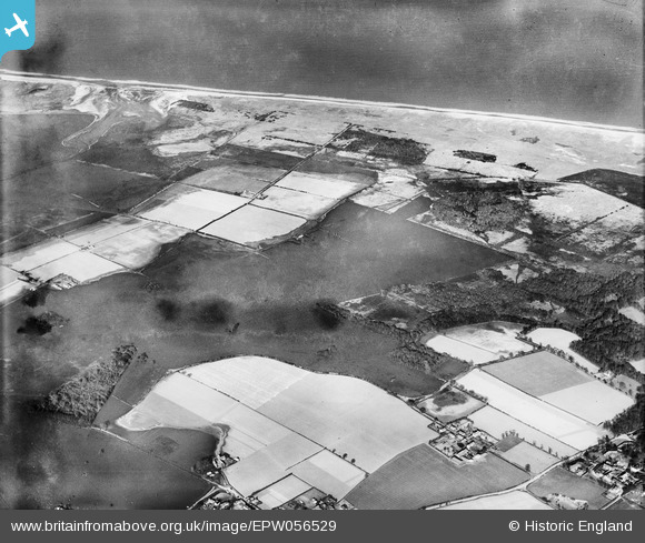
EPW056529 ENGLAND (1938). Flooding at the site of the Commissioners' Drain, Somerton Holmes, 1938
© Copyright OpenStreetMap contributors and licensed by the OpenStreetMap Foundation. 2025. Cartography is licensed as CC BY-SA.
Nearby Images (2)
EPW056529

EPW056487

Details
| Title | [EPW056529] Flooding at the site of the Commissioners' Drain, Somerton Holmes, 1938 |
| Reference | EPW056529 |
| Date | 12-March-1938 |
| Link | |
| Place name | SOMERTON HOLMES |
| Parish | SOMERTON |
| District | |
| Country | ENGLAND |
| Easting / Northing | 647662, 320915 |
| Longitude / Latitude | 1.6684433704993, 52.728719596089 |
| National Grid Reference | TG477209 |
Pins
Be the first to add a comment to this image!