
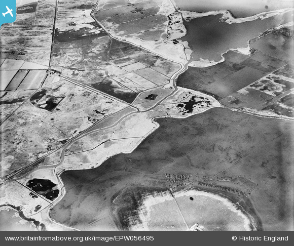
EPW056495 ENGLAND (1938). Flooding around Blackfleet Broad, Meadow Dyke, 1938
© Copyright OpenStreetMap contributors and licensed by the OpenStreetMap Foundation. 2025. Cartography is licensed as CC BY-SA.
Nearby Images (2)
EPW056495

EPW056540

Details
| Title | [EPW056495] Flooding around Blackfleet Broad, Meadow Dyke, 1938 |
| Reference | EPW056495 |
| Date | 12-March-1938 |
| Link | |
| Place name | MEADOW DYKE |
| Parish | CATFIELD |
| District | |
| Country | ENGLAND |
| Easting / Northing | 644222, 321354 |
| Longitude / Latitude | 1.6179269633865, 52.734222445603 |
| National Grid Reference | TG442214 |
Pins
Be the first to add a comment to this image!