
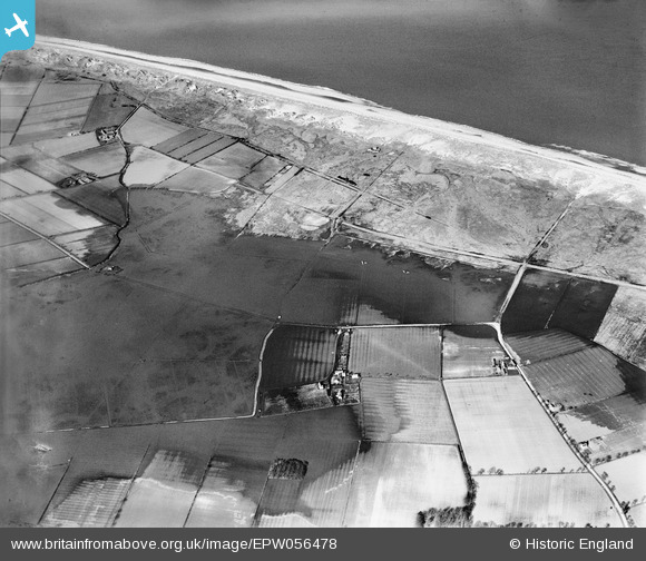
EPW056478 ENGLAND (1938). Flooding at Horsey Corner, Horsey, 1938
© Copyright OpenStreetMap contributors and licensed by the OpenStreetMap Foundation. 2026. Cartography is licensed as CC BY-SA.
Nearby Images (2)
EPW056478

EPW056554

Details
| Title | [EPW056478] Flooding at Horsey Corner, Horsey, 1938 |
| Reference | EPW056478 |
| Date | 12-March-1938 |
| Link | |
| Place name | HORSEY |
| Parish | HORSEY |
| District | |
| Country | ENGLAND |
| Easting / Northing | 645716, 324022 |
| Longitude / Latitude | 1.6420087000722, 52.757484314884 |
| National Grid Reference | TG457240 |
Pins
Be the first to add a comment to this image!