
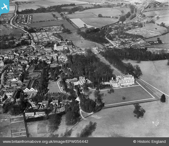
EPW056442 ENGLAND (1938). Tring Park and the town centre, Tring, from the south, 1938
© Copyright OpenStreetMap contributors and licensed by the OpenStreetMap Foundation. 2026. Cartography is licensed as CC BY-SA.
Nearby Images (5)
EPW056442

EAW048773

EAW048775

EAW048774

EPW001240

Details
| Title | [EPW056442] Tring Park and the town centre, Tring, from the south, 1938 |
| Reference | EPW056442 |
| Date | 4-March-1938 |
| Link | |
| Place name | TRING |
| Parish | TRING |
| District | |
| Country | ENGLAND |
| Easting / Northing | 492649, 211072 |
| Longitude / Latitude | -0.65653947330987, 51.790171385855 |
| National Grid Reference | SP926111 |
Pins
Be the first to add a comment to this image!