
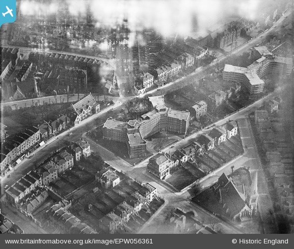
EPW056361 ENGLAND (1938). Eton Rise Flat Block, Camden Town, 1938
© Copyright OpenStreetMap contributors and licensed by the OpenStreetMap Foundation. 2026. Cartography is licensed as CC BY-SA.
Nearby Images (30)
EPW056361

EPW056362

EPW056360

EPW056364

EPW058593

EPW058478

EPW060335

EPW060303
, Maitland Park, 1938")
EPW060304
, Maitland Park, 1938")
EPW058475

EPW060302
, Maitland Park, 1938")
EPW058473

EPW058476

EPW058474

EPW060334

EPW060332

EPW060333

EPW058477

EPW060331

EPW060305
, Maitland Park, 1938")
EPW060306
, Maitland Park, 1938")
EPW058594

EPW058591

EPW058592

EPW056358

EPW056365

EPW056363

EPW060330

EPW058590

EPW056359

Details
| Title | [EPW056361] Eton Rise Flat Block, Camden Town, 1938 |
| Reference | EPW056361 |
| Date | 9-February-1938 |
| Link | |
| Place name | CAMDEN TOWN |
| Parish | |
| District | |
| Country | ENGLAND |
| Easting / Northing | 527923, 184570 |
| Longitude / Latitude | -0.15499992554189, 51.545028339289 |
| National Grid Reference | TQ279846 |
Pins

Class31 |
Saturday 29th of November 2014 01:15:38 PM | |
|
Class31 |
Tuesday 15th of October 2013 09:34:31 AM | |
|
Class31 |
Tuesday 15th of October 2013 09:34:10 AM | |
|
Class31 |
Tuesday 15th of October 2013 09:33:54 AM | |
|
Class31 |
Tuesday 15th of October 2013 09:33:36 AM | |
|
Class31 |
Tuesday 15th of October 2013 09:33:16 AM | |
|
Class31 |
Tuesday 15th of October 2013 08:30:48 AM |
