
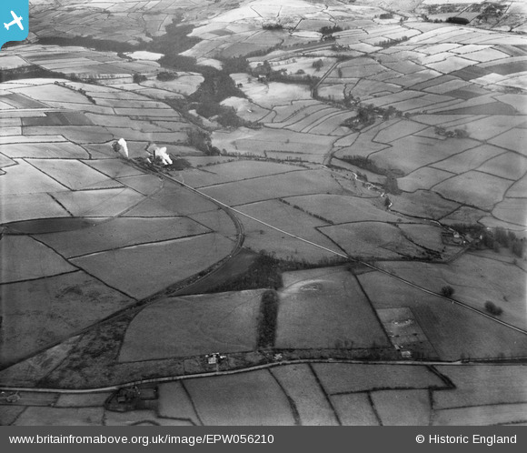
EPW056210 ENGLAND (1937). The Beckermet Iron Ore Mine and surrounding countryside, Beckermet, 1937
© Copyright OpenStreetMap contributors and licensed by the OpenStreetMap Foundation. 2025. Cartography is licensed as CC BY-SA.
Nearby Images (2)
EPW056210
EPW056212

Details
| Title | [EPW056210] The Beckermet Iron Ore Mine and surrounding countryside, Beckermet, 1937 |
| Reference | EPW056210 |
| Date | 6-December-1937 |
| Link | |
| Place name | BECKERMET |
| Parish | ST. JOHN BECKERMET |
| District | |
| Country | ENGLAND |
| Easting / Northing | 302464, 508177 |
| Longitude / Latitude | -3.5047918093971, 54.459458211964 |
| National Grid Reference | NY025082 |
Pins
Be the first to add a comment to this image!