
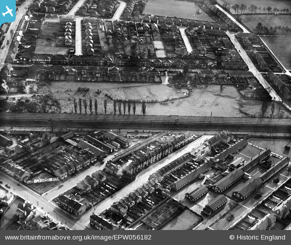
EPW056182 ENGLAND (1937). The Springfield Psychiatric Hospital Annexe and the residential area surrounding Beresford Road and Franks Avenue, New Malden, 1937
© Copyright OpenStreetMap contributors and licensed by the OpenStreetMap Foundation. 2026. Cartography is licensed as CC BY-SA.
Nearby Images (8)
EPW056182

EPW056186

EPW056187

EPW056184

EPW056185

EPW056183

EPW017483

EPW017334

Details
| Title | [EPW056182] The Springfield Psychiatric Hospital Annexe and the residential area surrounding Beresford Road and Franks Avenue, New Malden, 1937 |
| Reference | EPW056182 |
| Date | 1-December-1937 |
| Link | |
| Place name | NEW MALDEN |
| Parish | |
| District | |
| Country | ENGLAND |
| Easting / Northing | 520322, 168269 |
| Longitude / Latitude | -0.27012362807588, 51.400180076576 |
| National Grid Reference | TQ203683 |
Pins

chris_uk10 |
Monday 24th of October 2016 02:15:51 PM | |
|
chris_uk10 |
Monday 24th of October 2016 02:14:35 PM | |
|
chris_uk10 |
Saturday 4th of April 2015 05:33:48 PM | |
|
chris_uk10 |
Saturday 4th of April 2015 03:04:59 PM | |
|
chris_uk10 |
Saturday 4th of April 2015 03:04:35 PM | |
|
chris_uk10 |
Saturday 4th of April 2015 03:02:32 PM |