
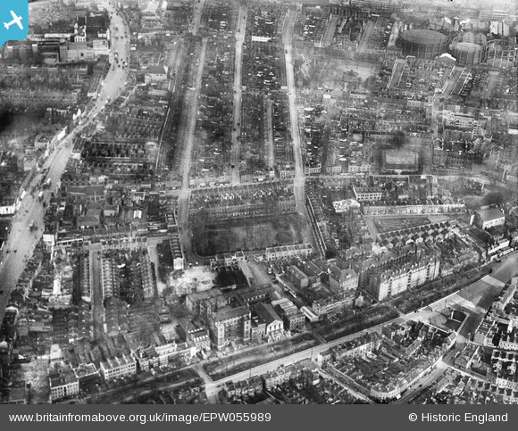
EPW055989 ENGLAND (1937). Beaumont Square and environs, Stepney, 1937
© Copyright OpenStreetMap contributors and licensed by the OpenStreetMap Foundation. 2026. Cartography is licensed as CC BY-SA.
Nearby Images (4)
EPW055989

EPW055990

EPW055988

EPW055661

Details
| Title | [EPW055989] Beaumont Square and environs, Stepney, 1937 |
| Reference | EPW055989 |
| Date | 9-November-1937 |
| Link | |
| Place name | STEPNEY |
| Parish | |
| District | |
| Country | ENGLAND |
| Easting / Northing | 535730, 181962 |
| Longitude / Latitude | -0.043475671325294, 51.519765751669 |
| National Grid Reference | TQ357820 |
Pins

AeroLad |
Thursday 16th of July 2026 10:57:41 PM | |

Class31 |
Tuesday 28th of April 2015 09:34:18 AM | |
|
twc |
Tuesday 30th of September 2014 08:58:16 AM | |
|
twc |
Tuesday 30th of September 2014 08:57:35 AM | |
|
Grollo |
Tuesday 18th of March 2014 01:23:27 PM | |
|
Ian |
Saturday 18th of January 2014 10:46:58 PM | |
|
Ian |
Saturday 18th of January 2014 10:46:34 PM |