
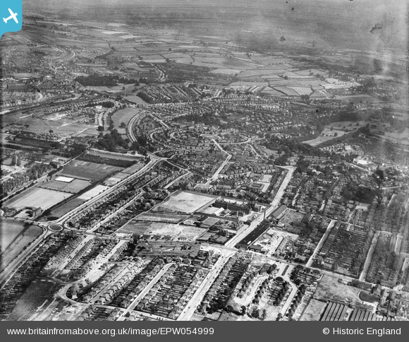
EPW054999 ENGLAND (1937). Perry Road and surrounding housing development, Sherwood, from the south-west, 1937
© Copyright OpenStreetMap contributors and licensed by the OpenStreetMap Foundation. 2026. Cartography is licensed as CC BY-SA.
Nearby Images (2)
EPW054999

EPW050205

Details
| Title | [EPW054999] Perry Road and surrounding housing development, Sherwood, from the south-west, 1937 |
| Reference | EPW054999 |
| Date | August-1937 |
| Link | |
| Place name | SHERWOOD |
| Parish | |
| District | |
| Country | ENGLAND |
| Easting / Northing | 456621, 343299 |
| Longitude / Latitude | -1.1565278068862, 52.983726552878 |
| National Grid Reference | SK566433 |
Pins

Riddo27 |
Monday 3rd of August 2015 02:02:34 PM | |
|
Riddo27 |
Monday 3rd of August 2015 02:01:55 PM | |
|
poohdog |
Monday 9th of June 2014 11:58:06 PM | |
|
poohdog |
Monday 9th of June 2014 11:56:01 PM | |
|
poohdog |
Monday 9th of June 2014 11:53:41 PM | |
|
poohdog |
Monday 9th of June 2014 11:52:45 PM |