
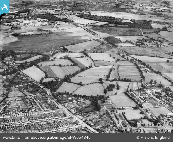
EPW054846 ENGLAND (1937). The Queen Elizabeth Park and Johnston Green areas before development, Guildford, 1937
© Copyright OpenStreetMap contributors and licensed by the OpenStreetMap Foundation. 2026. Cartography is licensed as CC BY-SA.
Nearby Images (5)
EPW054846

EPW054849

EAW035689

EPW054847

EAW035688

Details
| Title | [EPW054846] The Queen Elizabeth Park and Johnston Green areas before development, Guildford, 1937 |
| Reference | EPW054846 |
| Date | 16-August-1937 |
| Link | |
| Place name | GUILDFORD |
| Parish | |
| District | |
| Country | ENGLAND |
| Easting / Northing | 498464, 152487 |
| Longitude / Latitude | -0.58862669631707, 51.26251602425 |
| National Grid Reference | SU985525 |
Pins

percommode |
Monday 23rd of December 2013 06:26:38 PM |