
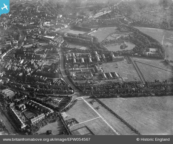
EPW054567 ENGLAND (1937). The Royal Victoria Infirmary and environs, Newcastle upon Tyne, 1937
© Copyright OpenStreetMap contributors and licensed by the OpenStreetMap Foundation. 2026. Cartography is licensed as CC BY-SA.
Nearby Images (5)
EPW054567

EPW054568

EPW014375

EPW019827

EPW054560

Details
| Title | [EPW054567] The Royal Victoria Infirmary and environs, Newcastle upon Tyne, 1937 |
| Reference | EPW054567 |
| Date | 30-July-1937 |
| Link | |
| Place name | NEWCASTLE UPON TYNE |
| Parish | |
| District | |
| Country | ENGLAND |
| Easting / Northing | 424497, 565091 |
| Longitude / Latitude | -1.6172008803002, 54.979746080512 |
| National Grid Reference | NZ245651 |
Pins

Josh Springer |
Friday 19th of December 2025 04:10:46 PM | |
|
Josh Springer |
Friday 19th of December 2025 04:07:38 PM | |
|
Josh Springer |
Tuesday 16th of December 2025 05:33:40 PM | |
|
Josh Springer |
Tuesday 16th of December 2025 05:32:42 PM | |
|
Josh Springer |
Tuesday 16th of December 2025 05:30:22 PM | |
|
Josh Springer |
Tuesday 16th of December 2025 05:28:32 PM | |
|
Josh Springer |
Tuesday 16th of December 2025 05:28:04 PM | |
|
Josh Springer |
Tuesday 16th of December 2025 05:23:54 PM | |
|
Josh Springer |
Tuesday 16th of December 2025 05:07:56 PM |