
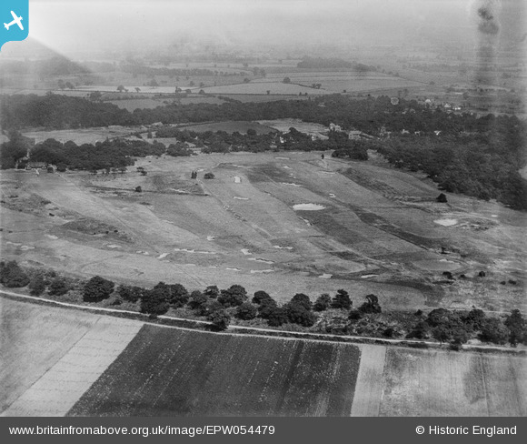
EPW054479 ENGLAND (1937). The Warren Golf Course, Branton, from the south-west, 1937
© Copyright OpenStreetMap contributors and licensed by the OpenStreetMap Foundation. 2026. Cartography is licensed as CC BY-SA.
Nearby Images (2)
EPW054479

EPW054475

Details
| Title | [EPW054479] The Warren Golf Course, Branton, from the south-west, 1937 |
| Reference | EPW054479 |
| Date | 30-July-1937 |
| Link | |
| Place name | BRANTON |
| Parish | CANTLEY |
| District | |
| Country | ENGLAND |
| Easting / Northing | 462037, 399562 |
| Longitude / Latitude | -1.0649001584851, 53.488856758168 |
| National Grid Reference | SK620996 |
Pins

DaveJ |
Thursday 18th of January 2024 02:05:03 PM | |

rossobantam |
Saturday 3rd of April 2021 03:39:30 PM | |
|
rossobantam |
Saturday 3rd of April 2021 03:38:57 PM | |
|
rossobantam |
Saturday 3rd of April 2021 03:38:28 PM |