
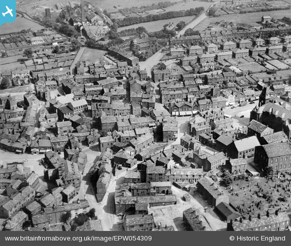
EPW054309 ENGLAND (1937). The town centre, Yeadon, 1937
© Copyright OpenStreetMap contributors and licensed by the OpenStreetMap Foundation. 2026. Cartography is licensed as CC BY-SA.
Nearby Images (19)
EPW054309

EPW054310

EPW054307

EAW008876

EAW008871

EAW008870

EAW008872

EAW008874

EAW036902

EAW036896

EAW036898

EAW036897

EAW008873

EAW008875

EAW036899

EAW008869

EAW036900

EAW036901

EAW036903

Details
| Title | [EPW054309] The town centre, Yeadon, 1937 |
| Reference | EPW054309 |
| Date | 14-July-1937 |
| Link | |
| Place name | YEADON |
| Parish | |
| District | |
| Country | ENGLAND |
| Easting / Northing | 420750, 441149 |
| Longitude / Latitude | -1.6844276168665, 53.865933240466 |
| National Grid Reference | SE208411 |
Pins
Be the first to add a comment to this image!