
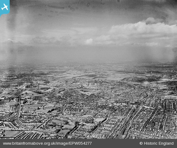
EPW054277 ENGLAND (1937). An infrared photograph over Cheam and central Sutton, Sutton, from the south-west, 1937
© Copyright OpenStreetMap contributors and licensed by the OpenStreetMap Foundation. 2026. Cartography is licensed as CC BY-SA.
Nearby Images (4)
EPW054277

EPW001678

EPW050019

EPW028248

Details
| Title | [EPW054277] An infrared photograph over Cheam and central Sutton, Sutton, from the south-west, 1937 |
| Reference | EPW054277 |
| Date | 13-July-1937 |
| Link | |
| Place name | SUTTON |
| Parish | |
| District | |
| Country | ENGLAND |
| Easting / Northing | 525343, 164307 |
| Longitude / Latitude | -0.1993723662884, 51.363481228021 |
| National Grid Reference | TQ253643 |
Pins

christhewino |
Monday 9th of January 2023 10:40:47 AM | |
|
Kim |
Sunday 6th of June 2021 09:00:57 PM | |
|
Casper |
Sunday 19th of November 2017 11:54:02 AM | |
|
Mark1973 |
Thursday 8th of August 2013 03:57:14 PM |