
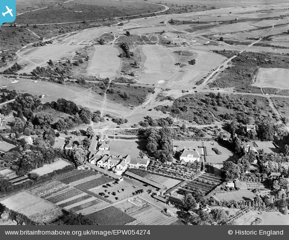
EPW054274 ENGLAND (1937). Walton Heath Golf Course, Walton Heath, 1937
© Copyright OpenStreetMap contributors and licensed by the OpenStreetMap Foundation. 2026. Cartography is licensed as CC BY-SA.
Nearby Images (8)
EPW054274

EPW054270

EPW054267

EPW054269

EPW054272

EPW054271

EPW054273

EPW054268

Details
| Title | [EPW054274] Walton Heath Golf Course, Walton Heath, 1937 |
| Reference | EPW054274 |
| Date | 13-July-1937 |
| Link | |
| Place name | WALTON HEATH |
| Parish | |
| District | |
| Country | ENGLAND |
| Easting / Northing | 522704, 154547 |
| Longitude / Latitude | -0.2406240898983, 51.276329512258 |
| National Grid Reference | TQ227545 |
Pins
Be the first to add a comment to this image!