
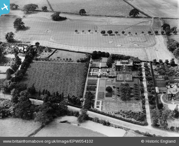
EPW054102 ENGLAND (1937). Upmeads, Stafford, 1937
© Copyright OpenStreetMap contributors and licensed by the OpenStreetMap Foundation. 2026. Cartography is licensed as CC BY-SA.
Nearby Images (8)
EPW054102

EPW054103

EPW054106

EPW054099

EPW054101

EPW054100

EPW054104

EPW054105

Details
| Title | [EPW054102] Upmeads, Stafford, 1937 |
| Reference | EPW054102 |
| Date | 7-July-1937 |
| Link | |
| Place name | STAFFORD |
| Parish | |
| District | |
| Country | ENGLAND |
| Easting / Northing | 390921, 322334 |
| Longitude / Latitude | -2.1346704661057, 52.79815864183 |
| National Grid Reference | SJ909223 |
Pins

bescotbeast |
Monday 28th of October 2013 11:56:33 PM |