
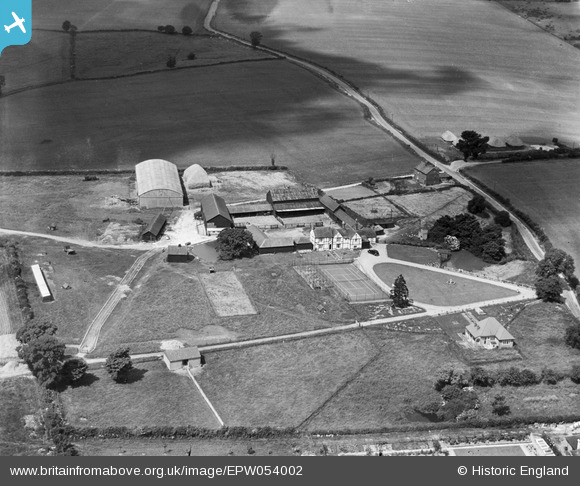
EPW054002 ENGLAND (1937). Buttermilk Hall Farm, Aspenden, 1937
© Copyright OpenStreetMap contributors and licensed by the OpenStreetMap Foundation. 2025. Cartography is licensed as CC BY-SA.
Nearby Images (5)
EPW054002

EPW054000

EPW053999

EPW053925

EPW053926

Details
| Title | [EPW054002] Buttermilk Hall Farm, Aspenden, 1937 |
| Reference | EPW054002 |
| Date | July-1937 |
| Link | |
| Place name | ASPENDEN |
| Parish | ASPENDEN |
| District | |
| Country | ENGLAND |
| Easting / Northing | 534214, 229411 |
| Longitude / Latitude | -0.047014786367021, 51.946550790877 |
| National Grid Reference | TL342294 |
Pins
Be the first to add a comment to this image!