
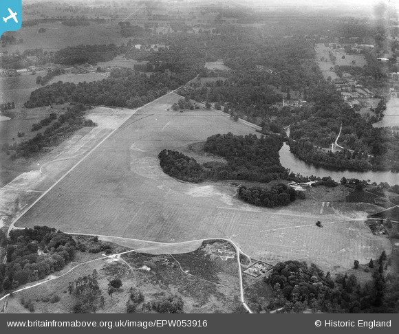
EPW053916 ENGLAND (1937). Smith's Lawn (Canadian Camp), Fuzzy Clump and Alder Cover, Englefield Green, 1937
© Copyright OpenStreetMap contributors and licensed by the OpenStreetMap Foundation. 2025. Cartography is licensed as CC BY-SA.
Nearby Images (2)
EPW053916
, Fuzzy Clump and Alder Cover, Englefield Green, 1937")
EPW053917
, Alder Cover and Obelisk Pond, Englefield Green, 1937")
Details
| Title | [EPW053916] Smith's Lawn (Canadian Camp), Fuzzy Clump and Alder Cover, Englefield Green, 1937 |
| Reference | EPW053916 |
| Date | June-1937 |
| Link | |
| Place name | ENGLEFIELD GREEN |
| Parish | |
| District | |
| Country | ENGLAND |
| Easting / Northing | 497211, 170391 |
| Longitude / Latitude | -0.60169097989569, 51.42368946998 |
| National Grid Reference | SU972704 |
Pins
Be the first to add a comment to this image!