
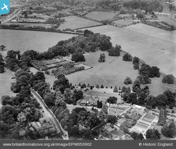
EPW053902 ENGLAND (1937). Woburn Place and garden surrounded by Woburn Park, Addlestone, 1937
© Copyright OpenStreetMap contributors and licensed by the OpenStreetMap Foundation. 2025. Cartography is licensed as CC BY-SA.
Nearby Images (8)
EPW053902

EPW053901

EPW053904

EPW053903

EPW053905

EPW053900

EPW053899

EPW053906

Details
| Title | [EPW053902] Woburn Place and garden surrounded by Woburn Park, Addlestone, 1937 |
| Reference | EPW053902 |
| Date | June-1937 |
| Link | |
| Place name | ADDLESTONE |
| Parish | |
| District | |
| Country | ENGLAND |
| Easting / Northing | 505410, 165799 |
| Longitude / Latitude | -0.48516163896386, 51.380943779689 |
| National Grid Reference | TQ054658 |
Pins
Be the first to add a comment to this image!