
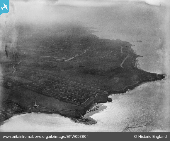
EPW053804 ENGLAND (1937). White Ness, Foreness Point and the housing estate site at Northdown, Kingsgate, from the east, 1937. This image has been produced from a damaged negative.
© Copyright OpenStreetMap contributors and licensed by the OpenStreetMap Foundation. 2026. Cartography is licensed as CC BY-SA.
Nearby Images (2)
EPW053804

EPR000564

Details
| Title | [EPW053804] White Ness, Foreness Point and the housing estate site at Northdown, Kingsgate, from the east, 1937. This image has been produced from a damaged negative. |
| Reference | EPW053804 |
| Date | 26-June-1937 |
| Link | |
| Place name | KINGSGATE |
| Parish | BROADSTAIRS AND ST. PETERS |
| District | |
| Country | ENGLAND |
| Easting / Northing | 639246, 170974 |
| Longitude / Latitude | 1.4389903002036, 51.386794137368 |
| National Grid Reference | TR392710 |
Pins
Be the first to add a comment to this image!