
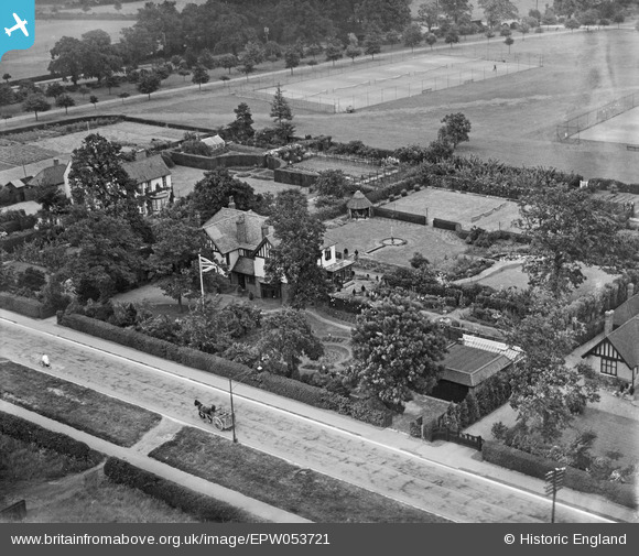
EPW053721 ENGLAND (1937). Houses along Pytchley Road including 'Four Winds', Kettering, 1937
© Copyright OpenStreetMap contributors and licensed by the OpenStreetMap Foundation. 2025. Cartography is licensed as CC BY-SA.
Nearby Images (5)
EPW053721

EPW053720

EPW053723

EPW053719

EPW053722

Details
| Title | [EPW053721] Houses along Pytchley Road including 'Four Winds', Kettering, 1937 |
| Reference | EPW053721 |
| Date | June-1937 |
| Link | |
| Place name | KETTERING |
| Parish | |
| District | |
| Country | ENGLAND |
| Easting / Northing | 487623, 277252 |
| Longitude / Latitude | -0.71238597498964, 52.385897434624 |
| National Grid Reference | SP876773 |
Pins
Be the first to add a comment to this image!