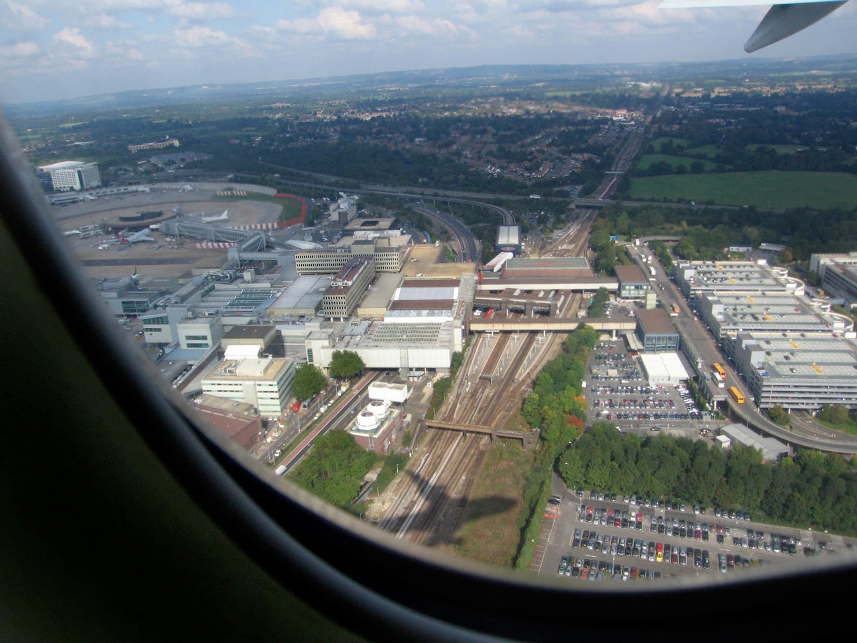
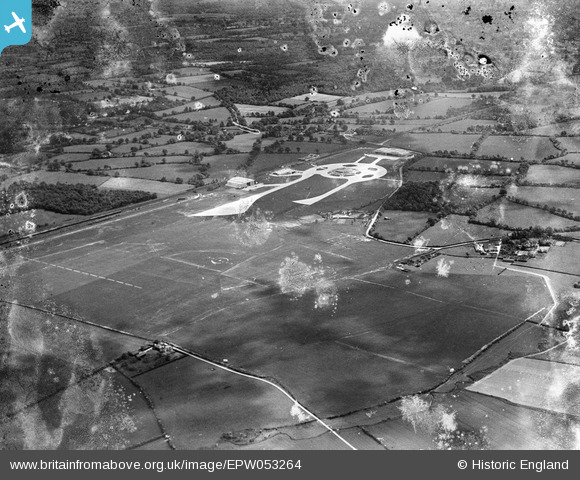
EPW053264 ENGLAND (1937). Gatwick Airport, Crawley, 1937. This image has been produced from a damaged negative.
© Copyright OpenStreetMap contributors and licensed by the OpenStreetMap Foundation. 2026. Cartography is licensed as CC BY-SA.
Details
| Title | [EPW053264] Gatwick Airport, Crawley, 1937. This image has been produced from a damaged negative. |
| Reference | EPW053264 |
| Date | 27-May-1937 |
| Link | |
| Place name | CRAWLEY |
| Parish | |
| District | |
| Country | ENGLAND |
| Easting / Northing | 528349, 140346 |
| Longitude / Latitude | -0.16481020657401, 51.147442469256 |
| National Grid Reference | TQ283403 |
Pins
User Comment Contributions

Gatwick Airport |

Alan McFaden |
Sunday 9th of November 2014 01:50:41 PM |
This photograph is not of 1937, as the racecourse was still going then. I presume it dates roughly at the same time as the previous one. William Morgan |

Willocolt |
Tuesday 4th of March 2014 12:13:38 PM |
As I understand it, the racecourse is out of shot to the bottom left - see EAW023693 from the opposite direction. The "Beehive" terminal building shown opened in 1936, while the racecourse was still in use, so I think the date is probably spot-on. |

Tony D |
Tuesday 4th of March 2014 12:13:38 PM |


![[EPW053264] Gatwick Airport, Crawley, 1937. This image has been produced from a damaged negative.](http://britainfromabove.org.uk/sites/all/libraries/aerofilms-images/public/100x100/EPW/053/EPW053264.jpg)
![[EAW023694] Gatwick Airport, Crawley, 1949](http://britainfromabove.org.uk/sites/all/libraries/aerofilms-images/public/100x100/EAW/023/EAW023694.jpg)
![[EAW023693] Gatwick Airport, Crawley, 1949](http://britainfromabove.org.uk/sites/all/libraries/aerofilms-images/public/100x100/EAW/023/EAW023693.jpg)
![[EPW053262] Hunts Green and Gatwick Airport, Crawley, 1937. This image has been produced from a damaged negative.](http://britainfromabove.org.uk/sites/all/libraries/aerofilms-images/public/100x100/EPW/053/EPW053262.jpg)