
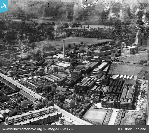
EPW053255 ENGLAND (1937). The Kodak Works and environs, Harrow, 1937
© Copyright OpenStreetMap contributors and licensed by the OpenStreetMap Foundation. 2026. Cartography is licensed as CC BY-SA.
Nearby Images (28)
EPW053255

EPW053247

EPW053246

EPW053245

EPW053251

EPW053248

EPW053257

EPW053249

EPW053254

EAW035177

EPW037281

EPW037265

EPW062558

EPW062563

EPW062560

EPW062568

EPW062750

EPW000475

EPW037260
, Harrow, 1932")
EPW000474

EPW037264

EPW062751

EPW037259
, Harrow, 1932")
EPW037280

EPW037266

EPW062561

EPW062753

EPW062565

Details
| Title | [EPW053255] The Kodak Works and environs, Harrow, 1937 |
| Reference | EPW053255 |
| Date | 27-May-1937 |
| Link | |
| Place name | HARROW |
| Parish | |
| District | |
| Country | ENGLAND |
| Easting / Northing | 514672, 189751 |
| Longitude / Latitude | -0.34433365002492, 51.594447365262 |
| National Grid Reference | TQ147898 |
Pins
User Comment Contributions
now 2016 and nearly all the kodak plant has been demolished ready to create 1000s of new homes |

steve |
Thursday 24th of March 2016 02:40:49 PM |