
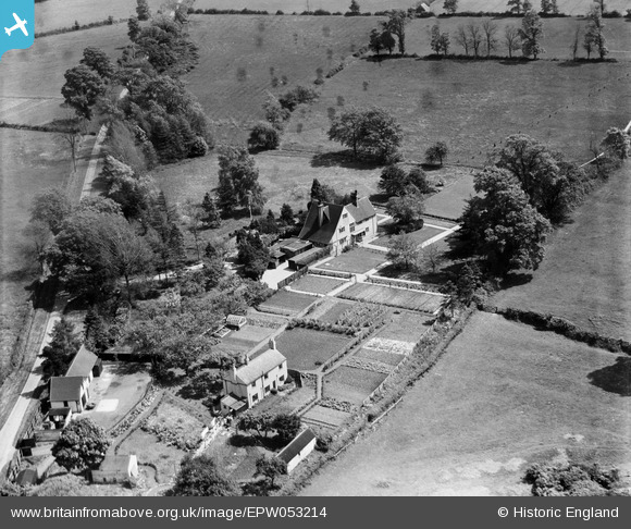
EPW053214 ENGLAND (1937). Harbury Heath House, Harbury, 1937
© Copyright OpenStreetMap contributors and licensed by the OpenStreetMap Foundation. 2026. Cartography is licensed as CC BY-SA.
Nearby Images (6)
EPW053214

EPW053211

EPW053213

EPW053216

EPW053212

EPW053215

Details
| Title | [EPW053214] Harbury Heath House, Harbury, 1937 |
| Reference | EPW053214 |
| Date | 24-May-1937 |
| Link | |
| Place name | HARBURY |
| Parish | HARBURY |
| District | |
| Country | ENGLAND |
| Easting / Northing | 436722, 258833 |
| Longitude / Latitude | -1.462321858034, 52.226075629938 |
| National Grid Reference | SP367588 |
Pins
Be the first to add a comment to this image!