
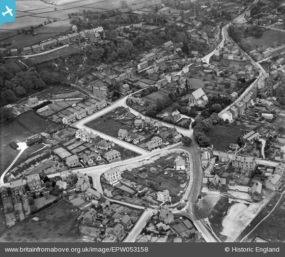
EPW053158 ENGLAND (1937). Smedley Street and environs, Matlock, 1937
© Copyright OpenStreetMap contributors and licensed by the OpenStreetMap Foundation. 2025. Cartography is licensed as CC BY-SA.
Nearby Images (2)
EPW053158

EPW041780

Details
| Title | [EPW053158] Smedley Street and environs, Matlock, 1937 |
| Reference | EPW053158 |
| Date | 20-May-1937 |
| Link | |
| Place name | MATLOCK |
| Parish | MATLOCK TOWN |
| District | |
| Country | ENGLAND |
| Easting / Northing | 429766, 360869 |
| Longitude / Latitude | -1.5549374524649, 53.143843139266 |
| National Grid Reference | SK298609 |
Pins
Be the first to add a comment to this image!