
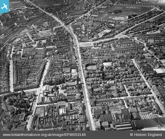
EPW053146 ENGLAND (1937). The residential area at Guns Village, West Bromwich, 1937
© Copyright OpenStreetMap contributors and licensed by the OpenStreetMap Foundation. 2026. Cartography is licensed as CC BY-SA.
Nearby Images (3)
EPW053146

EPW057561

EPW001112

Details
| Title | [EPW053146] The residential area at Guns Village, West Bromwich, 1937 |
| Reference | EPW053146 |
| Date | 19-May-1937 |
| Link | |
| Place name | WEST BROMWICH |
| Parish | |
| District | |
| Country | ENGLAND |
| Easting / Northing | 400148, 291546 |
| Longitude / Latitude | -1.9978185098582, 52.521428311133 |
| National Grid Reference | SP001915 |
