
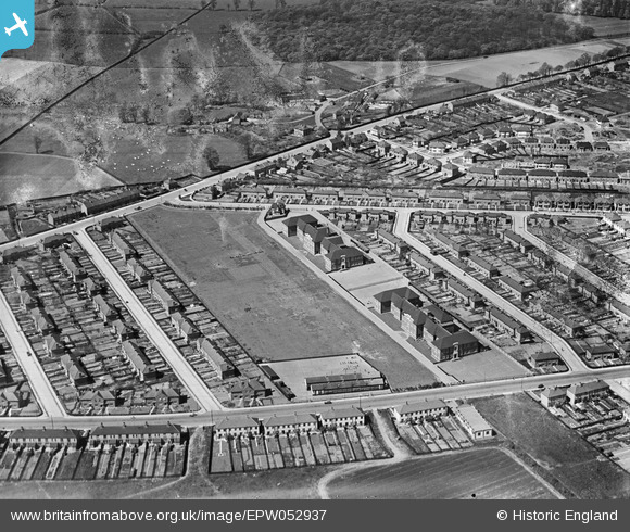
EPW052937 ENGLAND (1937). Fairlop School and environs, Fairlop, 1937
© Copyright OpenStreetMap contributors and licensed by the OpenStreetMap Foundation. 2026. Cartography is licensed as CC BY-SA.
Nearby Images (7)
EPW052937

EPW052943

EPW052939

EPW052941

EPW052938

EPW052940

EPW052942

Details
| Title | [EPW052937] Fairlop School and environs, Fairlop, 1937 |
| Reference | EPW052937 |
| Date | 4-May-1937 |
| Link | |
| Place name | FAIRLOP |
| Parish | |
| District | |
| Country | ENGLAND |
| Easting / Northing | 544283, 190978 |
| Longitude / Latitude | 0.083429870280032, 51.598667564861 |
| National Grid Reference | TQ443910 |
Pins
Be the first to add a comment to this image!