
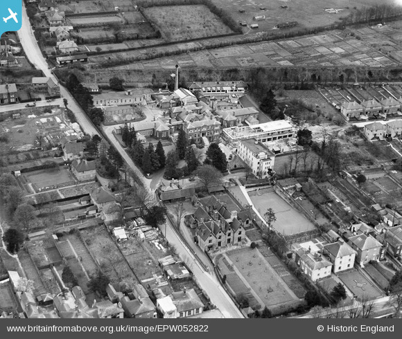
EPW052822 ENGLAND (1937). West Herts Hospital, Hillfield Road and environs, Hemel Hempstead, 1937
© Copyright OpenStreetMap contributors and licensed by the OpenStreetMap Foundation. 2026. Cartography is licensed as CC BY-SA.
Nearby Images (10)
EPW052822

EPW052821

EPW052819

EPW052823

EPW052818

EPW052824

EPW052820

EPW022455

EPW052868

EPW022458

Details
| Title | [EPW052822] West Herts Hospital, Hillfield Road and environs, Hemel Hempstead, 1937 |
| Reference | EPW052822 |
| Date | 16-April-1937 |
| Link | |
| Place name | HEMEL HEMPSTEAD |
| Parish | |
| District | |
| Country | ENGLAND |
| Easting / Northing | 505682, 207054 |
| Longitude / Latitude | -0.46884520542152, 51.7517433535 |
| National Grid Reference | TL057071 |
Pins
Be the first to add a comment to this image!