
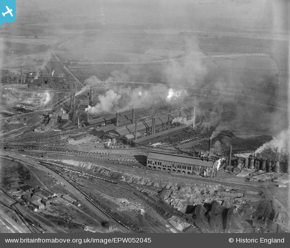
EPW052045 ENGLAND (1936). The Redbourn Hill Iron Works, Scunthorpe, from the west, 1936
© Copyright OpenStreetMap contributors and licensed by the OpenStreetMap Foundation. 2026. Cartography is licensed as CC BY-SA.
Nearby Images (8)
EPW052045

EPW049754

EPW049758

EPW049751

EPW052046

EPW049756

EPW049755

EPW052043

Details
| Title | [EPW052045] The Redbourn Hill Iron Works, Scunthorpe, from the west, 1936 |
| Reference | EPW052045 |
| Date | October-1936 |
| Link | |
| Place name | SCUNTHORPE |
| Parish | |
| District | |
| Country | ENGLAND |
| Easting / Northing | 491820, 411095 |
| Longitude / Latitude | -0.61270928492593, 53.588146837563 |
| National Grid Reference | SE918111 |
Pins

Peter Turvey |
Friday 24th of April 2015 05:52:31 PM |