
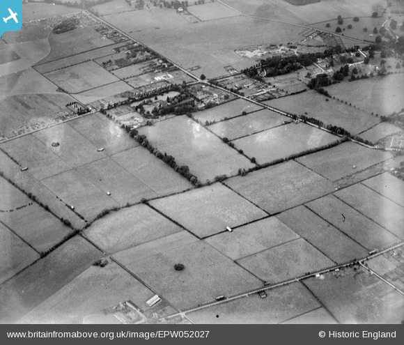
EPW052027 ENGLAND (1936). Fields between Dorney Reach and the Bray Court Hotel prior to the construction of the Maidenhead by-pass, Bray Wick, 1936. This image has been produced from a damaged negative.
© Copyright OpenStreetMap contributors and licensed by the OpenStreetMap Foundation. 2026. Cartography is licensed as CC BY-SA.
Nearby Images (6)
EPW052027

EPW052022

EPW052030

EAW003804

EPW052026

EPW052025

Details
| Title | [EPW052027] Fields between Dorney Reach and the Bray Court Hotel prior to the construction of the Maidenhead by-pass, Bray Wick, 1936. This image has been produced from a damaged negative. |
| Reference | EPW052027 |
| Date | October-1936 |
| Link | |
| Place name | BRAY WICK |
| Parish | BRAY |
| District | |
| Country | ENGLAND |
| Easting / Northing | 490559, 178906 |
| Longitude / Latitude | -0.69516589711854, 51.501343485523 |
| National Grid Reference | SU906789 |
Pins
Be the first to add a comment to this image!