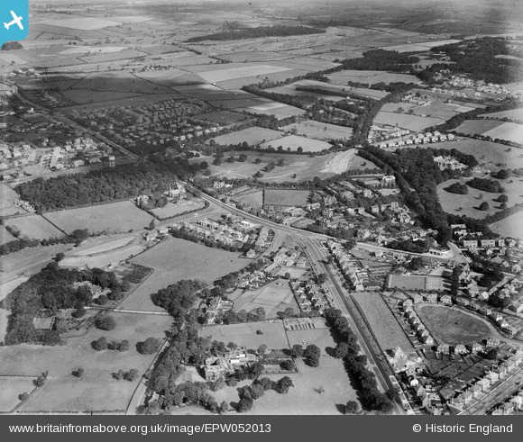
EPW052013 ENGLAND (1936). Moor Allerton, Leeds, from the south-west, 1936
© Copyright OpenStreetMap contributors and licensed by the OpenStreetMap Foundation. 2026. Cartography is licensed as CC BY-SA.
Details
| Title | [EPW052013] Moor Allerton, Leeds, from the south-west, 1936 |
| Reference | EPW052013 |
| Date | October-1936 |
| Link | |
| Place name | LEEDS |
| Parish | |
| District | |
| Country | ENGLAND |
| Easting / Northing | 430510, 438926 |
| Longitude / Latitude | -1.5362200236281, 53.845469481514 |
| National Grid Reference | SE305389 |
Pins

LS1 |
Wednesday 9th of October 2024 12:52:45 PM | |

smiley |
Saturday 21st of May 2016 12:08:57 AM | |

diamondeyes |
Friday 20th of December 2013 03:27:14 PM |
User Comment Contributions

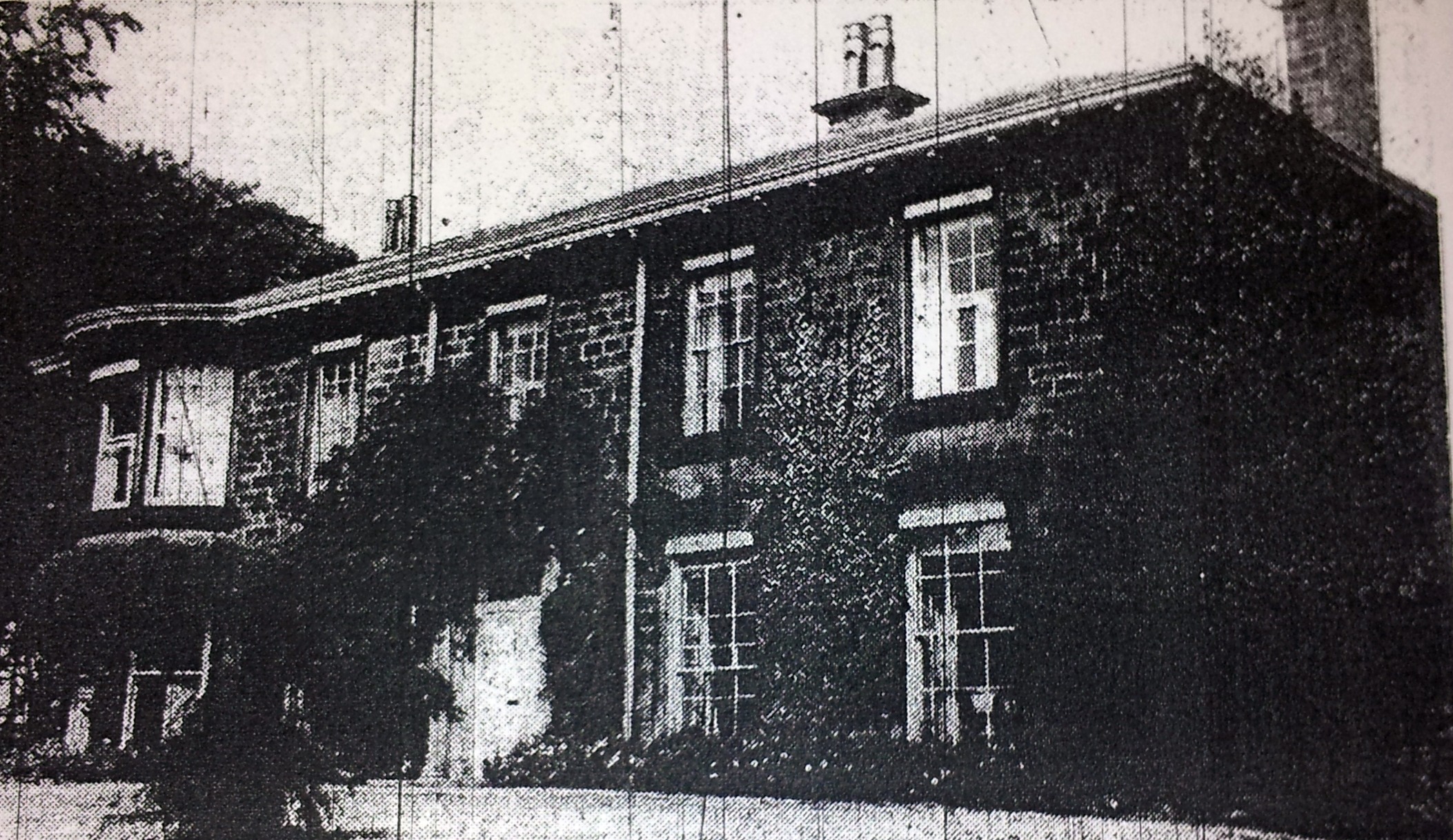
Stonegate Road Manor House 1962 |

diamondeyes |
Friday 20th of December 2013 03:30:10 PM |


![[EPW052013] Moor Allerton, Leeds, from the south-west, 1936](http://britainfromabove.org.uk/sites/all/libraries/aerofilms-images/public/100x100/EPW/052/EPW052013.jpg)
![[EPW052008] Moor Allerton, Leeds, from the south-west, 1936](http://britainfromabove.org.uk/sites/all/libraries/aerofilms-images/public/100x100/EPW/052/EPW052008.jpg)
![[EPW052009] Moor Allerton, Leeds, from the south-west, 1936. This image has been produced from a damaged negative.](http://britainfromabove.org.uk/sites/all/libraries/aerofilms-images/public/100x100/EPW/052/EPW052009.jpg)