
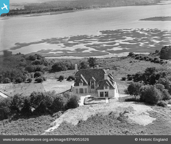
EPW051626 ENGLAND (1936). Furzey House, Furzey Island, 1936
© Copyright OpenStreetMap contributors and licensed by the OpenStreetMap Foundation. 2025. Cartography is licensed as CC BY-SA.
Nearby Images (9)
EPW051626

EPW051625

EPW051620

EPW051627

EPW051624

EPW051629

EPW051621

EPW051622

EPW051623

Details
| Title | [EPW051626] Furzey House, Furzey Island, 1936 |
| Reference | EPW051626 |
| Date | August-1936 |
| Link | |
| Place name | FURZEY ISLAND |
| Parish | CORFE CASTLE |
| District | |
| Country | ENGLAND |
| Easting / Northing | 401168, 87049 |
| Longitude / Latitude | -1.9834656013919, 50.68251811829 |
| National Grid Reference | SZ012870 |
Pins
Be the first to add a comment to this image!