
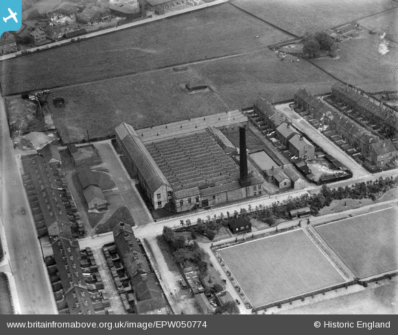
EPW050774 ENGLAND (1936). The Brocklehurst Whiston Amalgamated Ltd City Shed (Silk), Wyke, 1936
© Copyright OpenStreetMap contributors and licensed by the OpenStreetMap Foundation. 2025. Cartography is licensed as CC BY-SA.
Nearby Images (8)
EPW050774
, Wyke, 1936")
EPW050770
, Wyke, 1936")
EPW050775
 and the Wyke Manor Community College, Wyke, 1936")
EPW050776
, Wyke, 1936. This image has been affected by flare.")
EPW050769
 and the Wyke Manor Community College, Wyke, 1936")
EPW050772
, Wyke, 1936")
EPW050771
, Wyke, 1936")
EPW050773
, Wyke, 1936")
Details
| Title | [EPW050774] The Brocklehurst Whiston Amalgamated Ltd City Shed (Silk), Wyke, 1936 |
| Reference | EPW050774 |
| Date | June-1936 |
| Link | |
| Place name | WYKE |
| Parish | |
| District | |
| Country | ENGLAND |
| Easting / Northing | 415505, 427357 |
| Longitude / Latitude | -1.7648889180529, 53.742141164283 |
| National Grid Reference | SE155274 |
Pins
Be the first to add a comment to this image!