
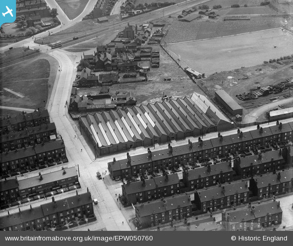
EPW050760 ENGLAND (1936). The Samuel Driver Ltd works and the surrounding residential area, Hunslet, 1936
© Copyright OpenStreetMap contributors and licensed by the OpenStreetMap Foundation. 2026. Cartography is licensed as CC BY-SA.
Nearby Images (8)
EPW050760

EPW050757

EPW050759

EPW050754

EPW050761

EPW050758

EPW050755

EPW050756

Details
| Title | [EPW050760] The Samuel Driver Ltd works and the surrounding residential area, Hunslet, 1936 |
| Reference | EPW050760 |
| Date | June-1936 |
| Link | |
| Place name | HUNSLET |
| Parish | |
| District | |
| Country | ENGLAND |
| Easting / Northing | 430334, 431125 |
| Longitude / Latitude | -1.5396642003781, 53.775358915186 |
| National Grid Reference | SE303311 |
Pins

rew |
Thursday 16th of April 2026 05:07:23 PM | |
|
rew |
Thursday 24th of May 2018 03:59:54 PM | |
|
Brick Collector |
Sunday 2nd of February 2014 10:49:06 PM | |
|
Brick Collector |
Sunday 2nd of February 2014 10:48:22 PM | |
|
Brick Collector |
Sunday 2nd of February 2014 10:47:15 PM | |
|
Brick Collector |
Sunday 2nd of February 2014 10:46:09 PM | |
|
Brick Collector |
Sunday 2nd of February 2014 10:44:40 PM |