
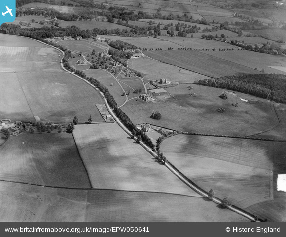
EPW050641 ENGLAND (1936). Kingham Hill School and environs, Kingham, 1936
© Copyright OpenStreetMap contributors and licensed by the OpenStreetMap Foundation. 2025. Cartography is licensed as CC BY-SA.
Nearby Images (2)
EPW050641

EPW050643

Details
| Title | [EPW050641] Kingham Hill School and environs, Kingham, 1936 |
| Reference | EPW050641 |
| Date | June-1936 |
| Link | |
| Place name | KINGHAM |
| Parish | KINGHAM |
| District | |
| Country | ENGLAND |
| Easting / Northing | 426477, 225798 |
| Longitude / Latitude | -1.6148878639909, 51.929632165285 |
| National Grid Reference | SP265258 |
Pins

Stephen |
Thursday 24th of December 2015 08:27:33 PM |