
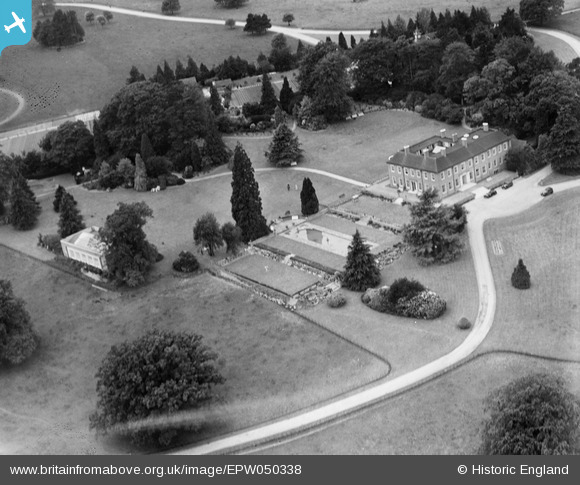
EPW050338 ENGLAND (1936). Ely Grange, Frant, 1936
© Copyright OpenStreetMap contributors and licensed by the OpenStreetMap Foundation. 2026. Cartography is licensed as CC BY-SA.
Nearby Images (8)
EPW050338

EPW050331

EPW050337

EPW050341

EPW050332

EPW050334

EPW050333

EPW050335

Details
| Title | [EPW050338] Ely Grange, Frant, 1936 |
| Reference | EPW050338 |
| Date | June-1936 |
| Link | |
| Place name | FRANT |
| Parish | FRANT |
| District | |
| Country | ENGLAND |
| Easting / Northing | 559657, 135930 |
| Longitude / Latitude | 0.28054631663754, 51.09988360803 |
| National Grid Reference | TQ597359 |
Pins
Be the first to add a comment to this image!